 |
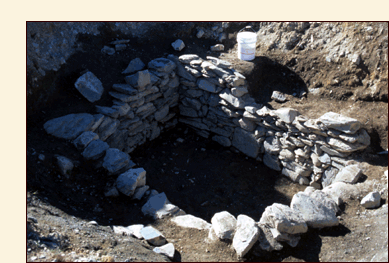
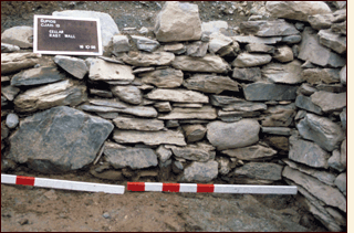
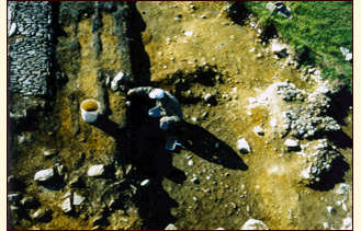
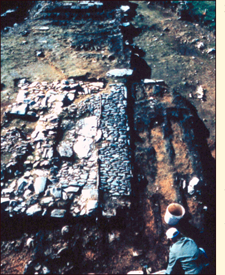
Attached to the southern end of Structure 1 was a second building, Structure 3. The eastern end of the chimney formed part of the western end wall of Structure 3 which ran east from Structure 1, over the cellar pit, for 30 feet (9.14m) and was roughly 13 feet (3.96m) wide. Although much of the imprint of Structure 3 was lost when the cellar walls and rubble fill behind them collapsed after the destruction of these buildings, the easternmost portion of its builders' trench was still visible as was part of its stone footing extending south from the southeast corner of the chimney just west of the cellar pit. The presence of the cellar inside Structure 3 suggests that it was probably used as a storehouse.
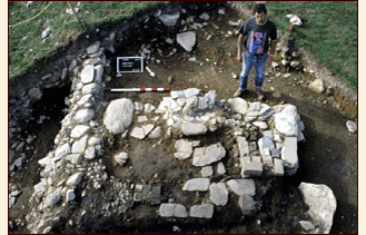
Roughly two feet (0.61 m) south of the eastern end of Structure 3, we found the remains of another smaller structure (Structure 2) running almost parallel to it. Measuring only 15 feet x 9 feet (4.57 m x 2.74 m), Structure 2 was apparently some sort of out-building. Traces of what appeared to be a ground laid sill ran along a portion of the south side of Structure 2 and the remains of several decayed timbers located inside the structure and running parallel to its long axis suggest that it may once have had a wooden floor.
Twenty-two feet (6.70 m) west of the northern half of Structure 1 we uncovered part of a fourth building (Structure 5). Here the remains of a stone wall measuring eight feet (2.44 m) long and three feet (0.91 m) wide runs north to south and almost parallel to Structure 1. Unfortunately, only the lower courses of this wall have survived and it seems clear that much of the original stone was removed in the late eighteenth or early in the nineteenth-century. Two post holes located on the western side of the wall, one at the northwest corner and the other at the southwest corner, suggest that it once formed the eastern end of a building, probably with wooden side walls, that extended for an as yet unknown distance farther west.
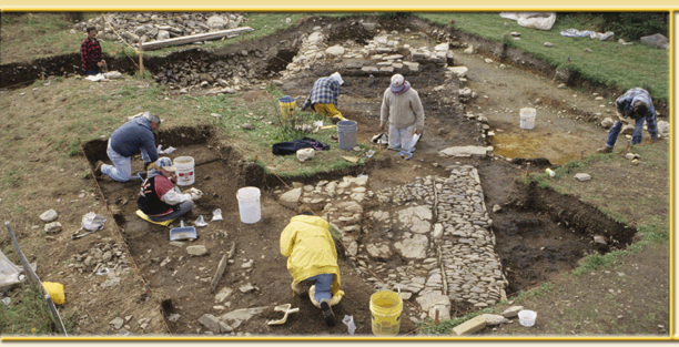
At this point, there can be little doubt that Structures 1 and 3 are the dwelling house and storehouse erected by John Guy's men and completed by about 1 December, 1610. Our work over the last number of years has also uncovered evidence of the plantation forge; the 120 ft. x 90 ft. palisade that enclosed the area around these buildings; one of the two bastions, or "flankers", erected by the colonists to guard the plantation; stone defense works and a gun platform that almost certainly were part of the fort erected by Guy's men in 1612 to guard against pirate attacks; the first sawpit dug by the colonists shortly after they arrived in August 1610; and the stone footing for a building, possibly a storehouse for salt cod, erected over part of that sawpit sometime between roughly 1620 and 1640. To find out more about some of these discoveries and other discoveries made elsewhere on the Baccalieu Trail, click on "New Discoveries" at the top of this page.
|
|